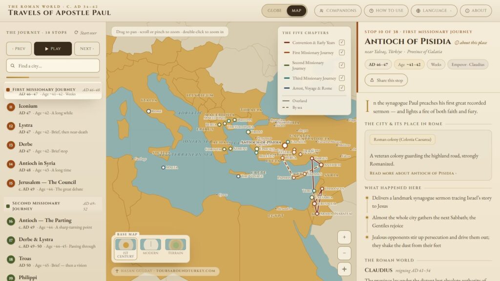
This free interactive map of Paul’s missionary journeys follows the apostle through 38 stops, from Jerusalem around AD 33 to Rome. Every stop has the Bible passages, his companions and the people he met, in five languages, on a computer or a phone. Open the interactive map in a new tab, no sign-up needed.
Add Tours Around Turkey as a preferred source on Google
Most of Paul’s travels happened in what is Turkey today, so for me as a guide in Kuşadası this is home ground. The map lives on its own address on my website, it opens in a new tab so this page stays light. Let’s have a look at what is on it and how to use it.
What the Map of Paul’s Missionary Journeys Shows
The map is called Travels of Apostle Paul. It puts 38 stops in order, at 27 different places, from Jerusalem around AD 33 to Rome between about AD 62 and 67. Some places come up more than once, for example Jerusalem, Antioch and Ephesus, because Paul went back to them.
You can spin a globe or switch to a flat map. There are three base maps: 1st Century with the Roman provinces, Modern with today’s countries, and Terrain. Flip between the first two and you see where an ancient city sits in modern Turkey.
The Five Chapters of Paul’s Journeys
The stops are grouped in five chapters, and each chapter has its own color on the map.
- Conversion and Early Years, AD 34 to 46, 6 stops: Jerusalem, Damascus, Arabia, Tarsus and Antioch in Syria.
- First Missionary Journey, AD 46 to 48, 9 stops: Cyprus, Perga, Antioch of Pisidia, Iconium, Lystra, Derbe and the Council in Jerusalem.
- Second Missionary Journey, AD 49 to 52, 10 stops: Troas, Philippi, Thessalonica, Berea, Athens, Corinth and Ephesus.
- Third Missionary Journey, AD 53 to 57, 7 stops: Galatia and Phrygia, Ephesus for about three years, Macedonia and Greece, Troas, Miletus, Tyre and Caesarea.
- Arrest, Voyage and Rome, AD 57 to 62, 6 stops: Jerusalem, Caesarea, the storm at sea, Malta and Rome.
On the map of Paul’s first missionary journey you follow him from Antioch with Barnabas to Cyprus and then up into the highlands of Galatia (Acts 13 and 14). The second missionary journey crosses to Europe, with Philippi, Athens and Corinth (Acts 16 to 18). The third missionary journey is built around Ephesus (Acts 19).
What Each Stop Card Tells You
Tap a stop and card opens. It shows the date, Paul’s approximate age, how long he stayed, what happened there, the people he met and the companions with him. The dates and ages are approximate.
The Bible passages open in a pop-up, so you can read the verse without leaving the map. The map names 8 companions: Barnabas, John Mark, Silas, Timothy, Luke, Priscilla and Aquila, Titus and Aristarchus. It also names 45 people Paul met on the way.
How to Use the Interactive Map
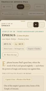
Press Play and the map moves from stop to stop by itself. Previous and Next let you go in your own speed. The “Find a city” search jumps straight to a place, and in the legend you can also switch a chapter on or off too. “Share this stop” gives each stop its own link, so you can send a friend the card of Ephesus.
The language menu offers English, Spanish, German, Russian and Polish. On a phone you can add the map to your home screen and it opens like an app, even without a connection. Only the Terrain base map needs one.
Paul’s Journeys on the Map in Turkey Today
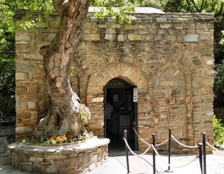
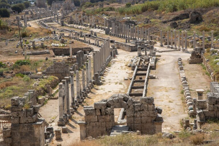
Look at the map and you will see that many pins are laying inside Turkey. The stops in today’s Turkey are Tarsus, Antioch in Syria (Antakya), Perga, Antioch of Pisidia near Yalvaç, Iconium (Konya), Lystra, Derbe, Troas, Ephesus and Miletus, plus the regions of Galatia and Phrygia. By the way, Iconium is today’s Konya, the city of the Mevlana Museum.
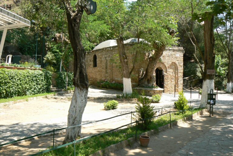
For the bigger picture, read my posts on Apostle Paul in Turkey and the cities visited by Apostle Paul in Asia Minor. Ephesus is where I work, so Apostle Paul in Ephesus and Paul’s second visit to Asia Minor and the Ephesian years are the ones I recommend first.
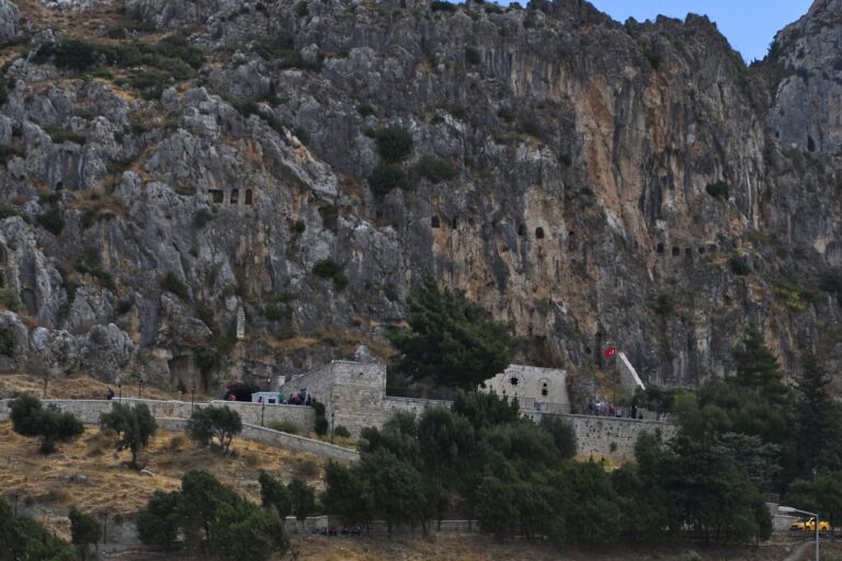
Miletus, where Paul said goodbye to the elders of Ephesus (Acts 20), has its own post, Apostle Paul in Miletus. The ship of the voyage to Rome was changed at Myra, also in Turkey today (Acts 27), and Paul’s Voyage to Rome follows it. If you plan a trip, the map of Apostle Paul’s journeys helps you decide which of these places to see.
Frequently Asked Questions
Is the interactive map of Paul’s journeys free?
Yes. The map is free, needs no sign-up and works on a computer and on a phone. You open it in a new tab from this page, and the map is ready to explore.
How many stops are on the map and what do they cover?
The map has 38 stops at 27 places, in five chapters: Paul’s early years after his conversion, the first, second and third missionary journeys, and his arrest, voyage and arrival in Rome. It starts in Jerusalem around AD 33 and ends in Rome.
Can I use the map in my language or without internet?
It comes in English, Spanish, German, Russian and Polish. If you add it to your phone’s home screen, it also opens without a connection. Only the Terrain base map needs a connection.
Hire Biblical Turkey Tour Guide
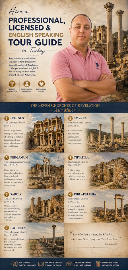
I am a nationally licensed Turkish tour guide based in Kuşadası, nearby Ephesus. My day guiding is in Ephesus, İzmir and Pamukkale, and on a longer journey my national license lets me join you as your personal guide in other regions. Open the interactive map, note the stops you would like to see, and tell me which ones.
You can see my guiding rates and guiding areas, or write to me through my contact page to ask about my availability.
I hope we will stand together in the places where Paul preached. You can always write to me with your questions about his journeys. See you soon, Hasan Gülday.